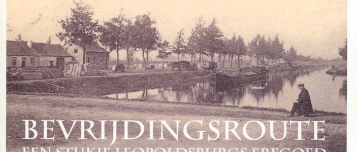
Category: <span>Digitalised Booklets</span>

Ehrenfriedhof

This is the original booklet issued by the Germans at the opening of the Ehrenfriendhof on November 26, 1916.

Bevrijdingsroute (Liberation route)

The Liberation Route was mapped out in 2004 because our municipality was liberated 60 years earlier in that year. The route is signposted with white signs and blue print, with a bicycle logo and the words ‘Bevrijdingsroute 24.5 km’. The brochure (paper version) is available at the tourist office of…

Leopold I-route

This 5.5 km route takes you past 28 sights in and around the center. The walk is marked with orange hexagons with the image of Leopold I. It starts at the Karmellaan, located between the Koningin Louisa Marialaan and the Koning Albert I square. This booklet is available at Tourism…